Featured
1 / 9
Description
A highly experienced & Qualified MSc. [ Civ/Envoin Engg] provides the following valuable services:
1. Ground Water Survey Detection /exploration.
2. Electromagnetic pulse generating microcomputer system.
3. Bipolar system -90% accuracy- contoured graph field recorder.
4. Profiling of strata, Litho and Geo structure analysis for water detection.
5. Potability, Salinity and quantity of water estimation.
6. Extent of saturated or unsaturated aquifer.
7. Tube well boring & development
8. Geo sampling
9. Discharge / Pump Test
10. Well repair & deepening
11. Recommendations for Sustainable groundwater exploitation.
12. Recharging of groundwater
13. Water quality & quantity assessment.
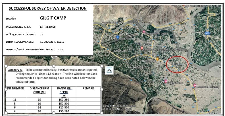
14. Exploration of wide area [many Acers] in the shortest time.
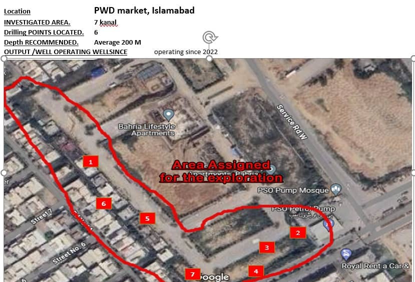
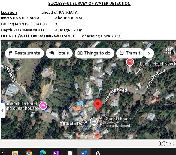
IF you are planning to construct a house or buy or sell your plot? While, working on this/such issues ones consider different factors like cost, location and available utilities, et cetera. The information about all the factors above ground is available however, the condition below ground surface is unpredictable. Recent studies have concluded that Pakistan is already facing subsurface water crisis. Reportedly the water table in Islamabad/Rawalpindi has fallen from 500 to 900 feet in 15 years which is quite alarming. It has also been noted that many boulders/wells have dried out and most of the wells being drilled without underground survey report did not hit the water. Considering current environments, it is essential to explore/get an underground survey of your land done to evaluate the cost of your property. Such a survey shall be extremely beneficial to the owner because it will facilitate the owner's decision to profitably sell or buy or construct a house over a plot. At the same time, such reports shall protect the owner from huge loss of resources and time.
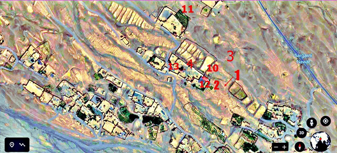
Nowadays many instruments like OMEGA & River ( USA & Germany) are also being used for groundwater surveys. Such devices are hand-held with a circling direction indicating without any part touching the ground. Our device is a unique microcomputer that generates 40-60 strong electrical signals and transmits them underground using Bipoles. Readings are taken and recorded / graphs are made and appear instantly in the device at 1-meter intervals to a depth of 300 to 500 meters to make the graph. This graph contains all critical information about the location of water, geological structure, fractures, and formation of rocks, clay, silt, shale, etc. This information is then successfully used to locate underground water reservoirs.
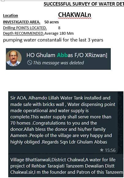
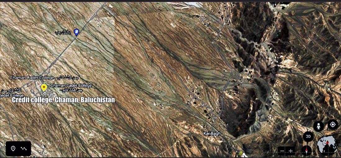
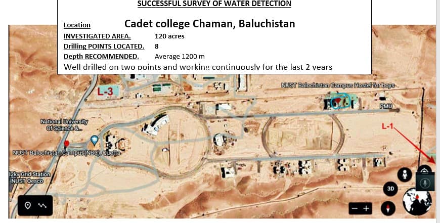
Using our system, we have recently successfully surveyed Cadet Collage Chaman, Baluchistan which, because of our recommendations, is now getting the required water from a depth of 950-1300 feet.
Our system also can survey small areas/ hard surfaces like pukka roads and rocks.
Shahrukh- BSc (Civil), MSc (Environmental Engg)]
Contact Num:0/3/1/1/9/6/6/6/8/7/7
Listed by private user
Shahrukh
Member since Aug 2017
See profile
Location
Pakistan
Ad id 1095801313
Report this ad
