1 / 1
Details
Price50
TypeOthers
Description
_*Fast Surveying And Engineering Solution (FSES)_
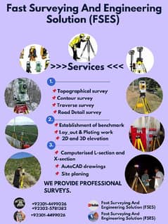
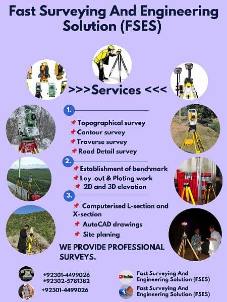
* We are providing all Kinds of Topographic Survey, Design & Estimate Services in all over Pakistan by *RTK DGPS* , *Total Station* & *Drone* .
Equipment & Software which we will use.
1: DGPS RTK GNSS Hi target
DGPS RTK GNSS E survey &
DGPS RTK GNSS Stonex S850A
2: Sokkia Cx 105/107/ 102 ES 101,
E 3 E- Survey, Topcon
4: Drone W. S Mavic 2 pro Phantem 4 pro
& M300
5: AUTO CAD, AUTODESK CIVIL 3D, Arc Map
10.5, GLOBAL MAPPER, GOOGLE EARTH.
Our Services All Pakistan
1: General Topography Survey Highway & Land Planning
2: Preparation of Topography Survey Maps
3: Topography as build Survey for Infrastructure Work
4: Topographic Survey for Dam
5: Topographic Survey for Transmission line
6: Survey For Under Ground Utilities Services
7: Area Dimension Survey For Land
8: Leveling Survey
9: Cross Section Road
10: Layout Plan
11: Demarcation plots
12: Land Measurements
13: Towns Planning
13: & Water Supply Project
15: Contour Survey
16: Statics Survey (Control Points)
17: Boundary Survey
For more queries please contact
Muhammad Asif Hasan
(View phone number)
(View phone number)
تیز سروے اور انجینئرنگ حل (FSES)_ ہم پورے پاکستان میں *RTK DGPS*، *Total Station* اور *Drone* کے ذریعے تمام قسم کے ٹپوگرافک سروے، ڈیزائن اور تخمینہ کی خدمات فراہم کر رہے ہیں۔ آلات اور سافٹ ویئر جو ہم استعمال کریں گے۔ 1: DGPS RTK GNSS ہائے ہدف DGPS RTK GNSS E سروے اور DGPS RTK GNSS Stonex S850A 2: Sokkia Cx 105/107/ 102 ES 101، E 3 E- سروے، Topcon 4: ڈرون W. S Mavic 2 pro Phantem 4 pro & M300 5: AUTO CAD، AUTODESK CIVIL 3D، آرک میپ 10.5، گلوبل میپر، گوگل ارتھ۔ ہماری خدمات پورے پاکستان 1: عمومی ٹوپوگرافی سروے ہائی وے اور لینڈ پلاننگ 2: ٹپوگرافی سروے کے نقشوں کی تیاری 3: بنیادی ڈھانچے کے کام کے لیے تعمیراتی سروے کے طور پر ٹپوگراف
